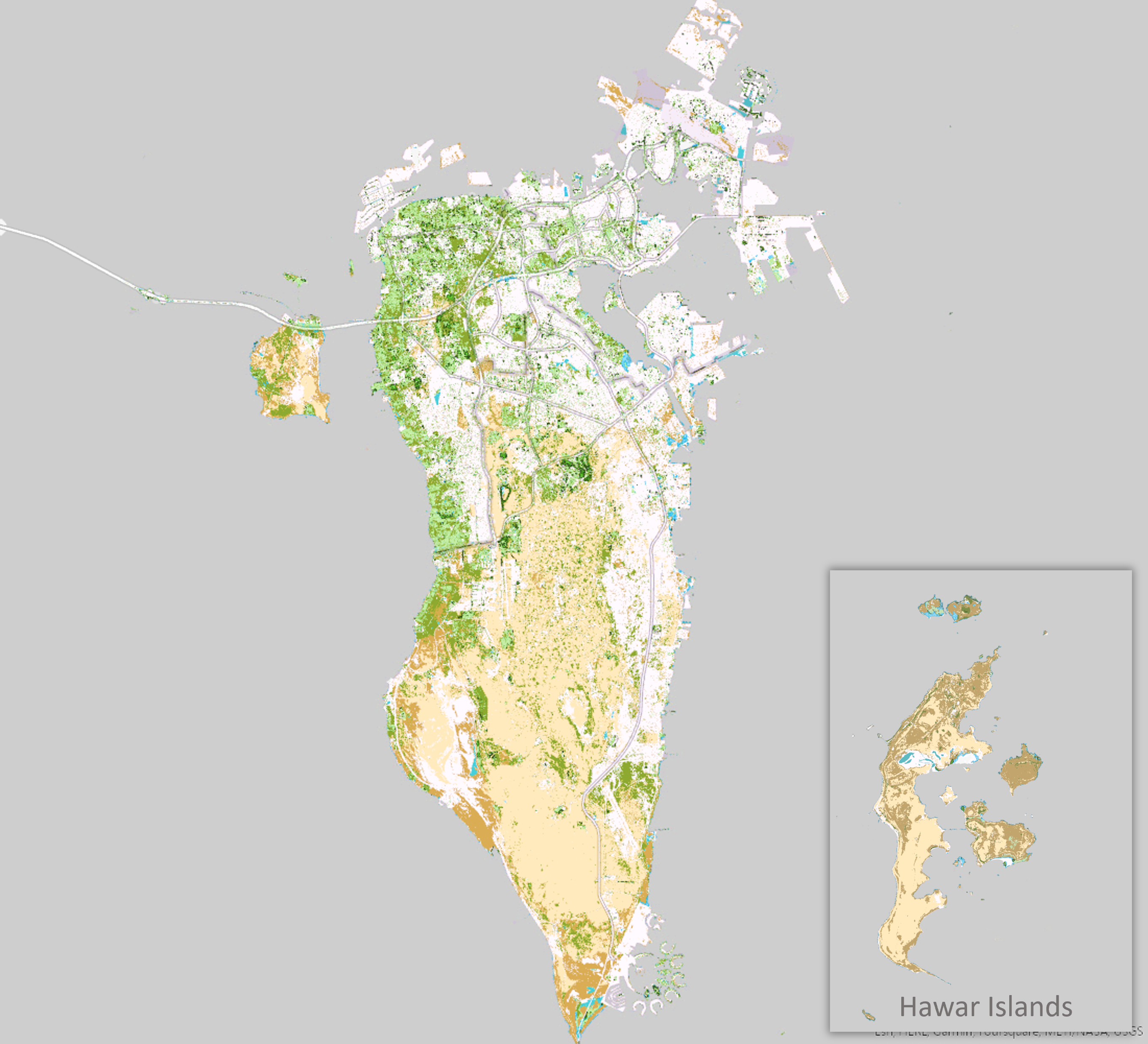
The Botanical Atlas
Methodology
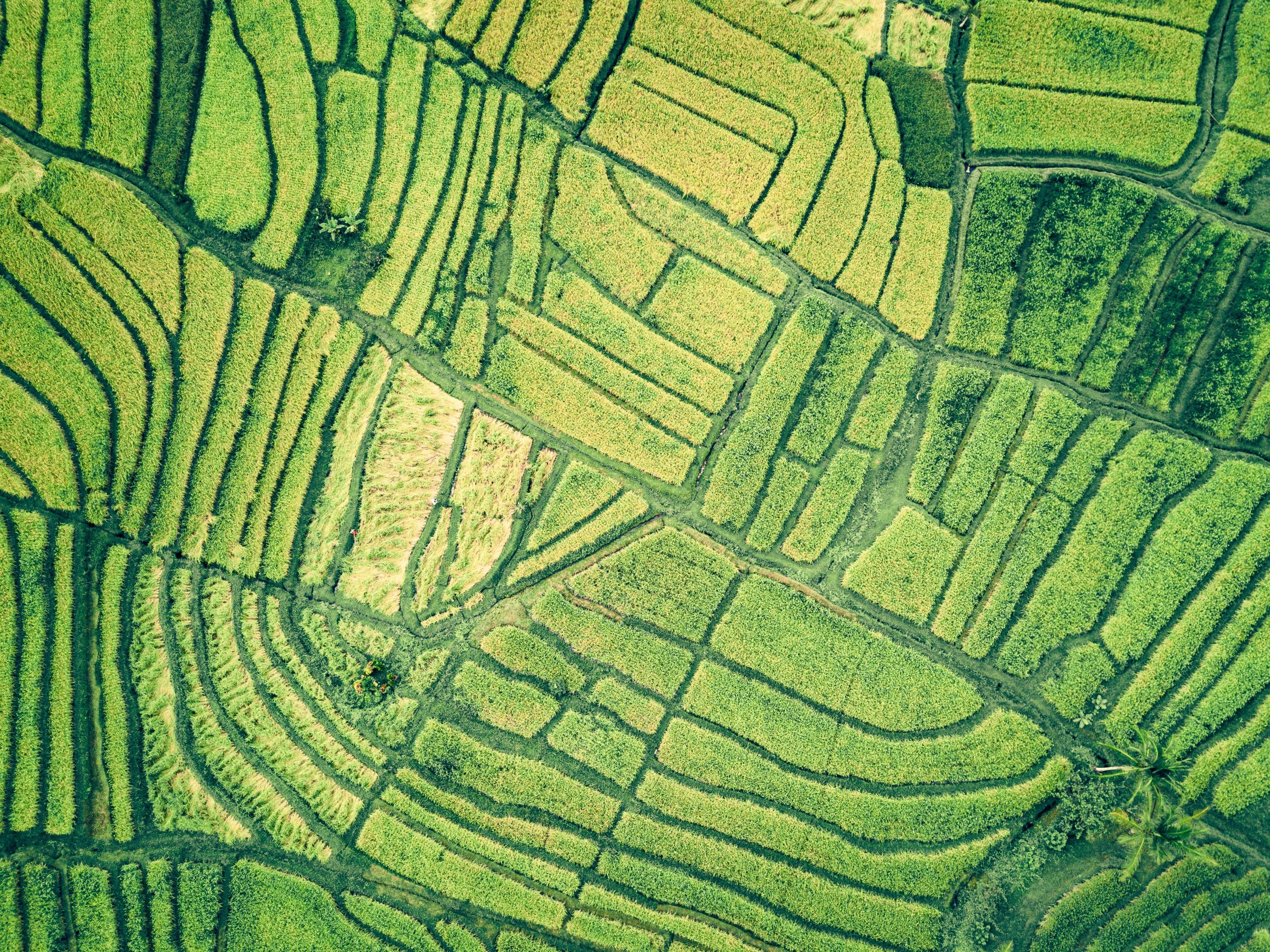
Sentinel 2 imagery was used as the main initial data source to undertake the project . Initial imagery processing and rectification of the raw data were carried out . Unsupervised classification was conducted to obtain an initial classification map of the vegetation . Field survey work was done , where over 145 locations were visited, and sample imagery of the vegetation were collected . AI was used to identify the various plants species ; the results were used in the supervised classification phase of the project. More field survey visits were made to collect additional data and verify the accuracy of the supervised classification and amend when necessary .
Click to access the detailed view of the Botanical Atlas:
Loading...
Loading...