Search...
Home
About
Data Sections
Agriculture Trade
Farmers, Farms & Nurseries
Agro Companies
Agro Investment
Agriculture Data
Climatology
Water
Soil
GIS Applications
Agriculture Land Use Management
Geospatial Applied To Agriculture
Bahrain's Natural Environment
Land Cover
Parks
Agricultural Resources
Sustainable Development Goals
Agricultural Publications & Researches
Agriculture Government Policies
Agricultural Laws and Conventions
Agricultural Sector Workforce
Government Support
NIAD
Projects / Events / Media / News
Bahrain International Garden Show
King Hamad Prize for Agricultural Development
Forever Green Campaign
Contact
Search for:
Search Button
English
العربية
X
Geospatial Applied to Agriculture
Thematic Mapping
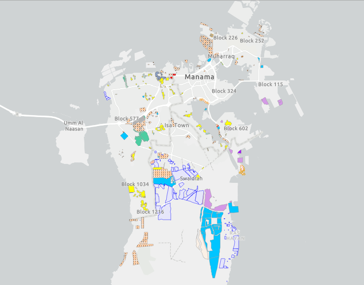
Potential Future Development
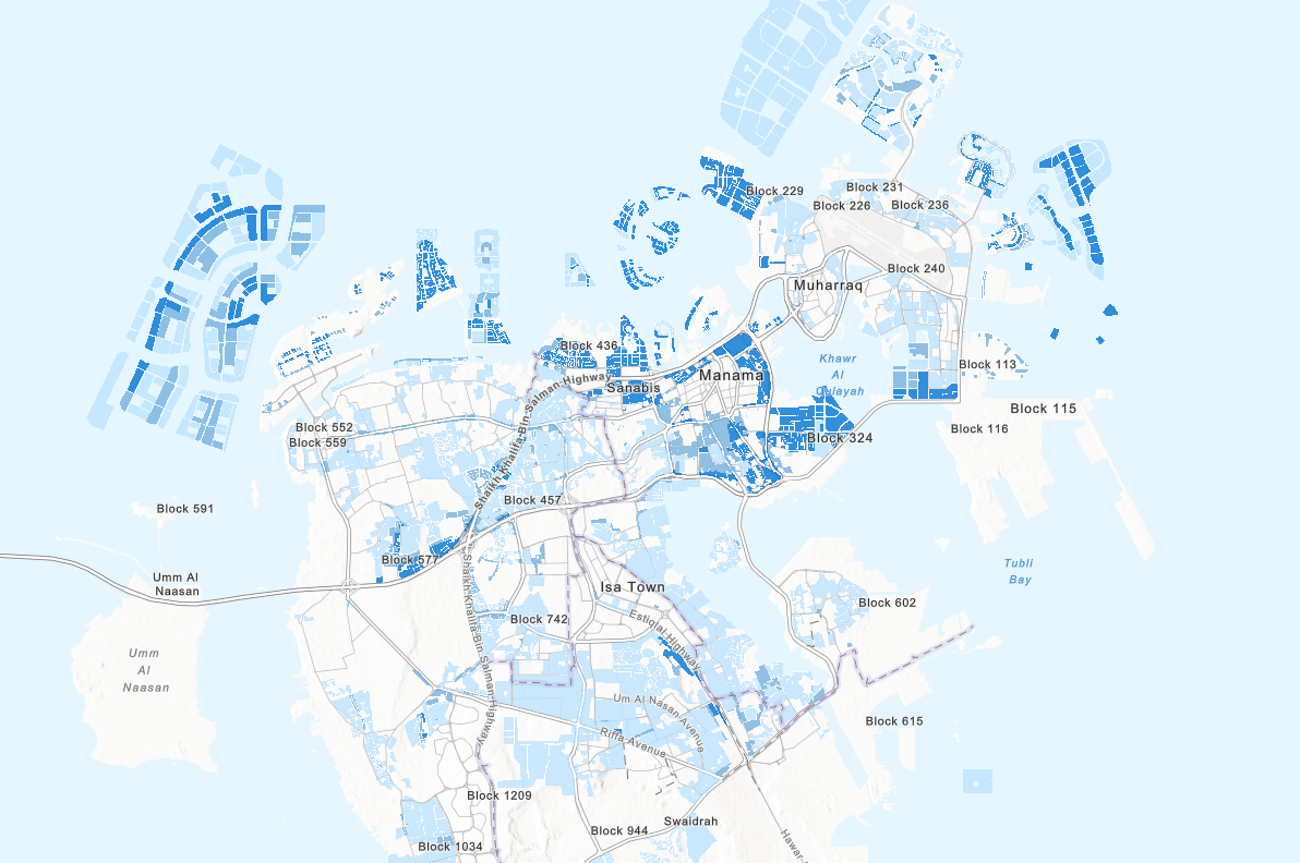
Residential Density
Home
/
Geospatial Applied To Agriculture
/
Thematic Mapping
Source
Urban Planning and Development Authority