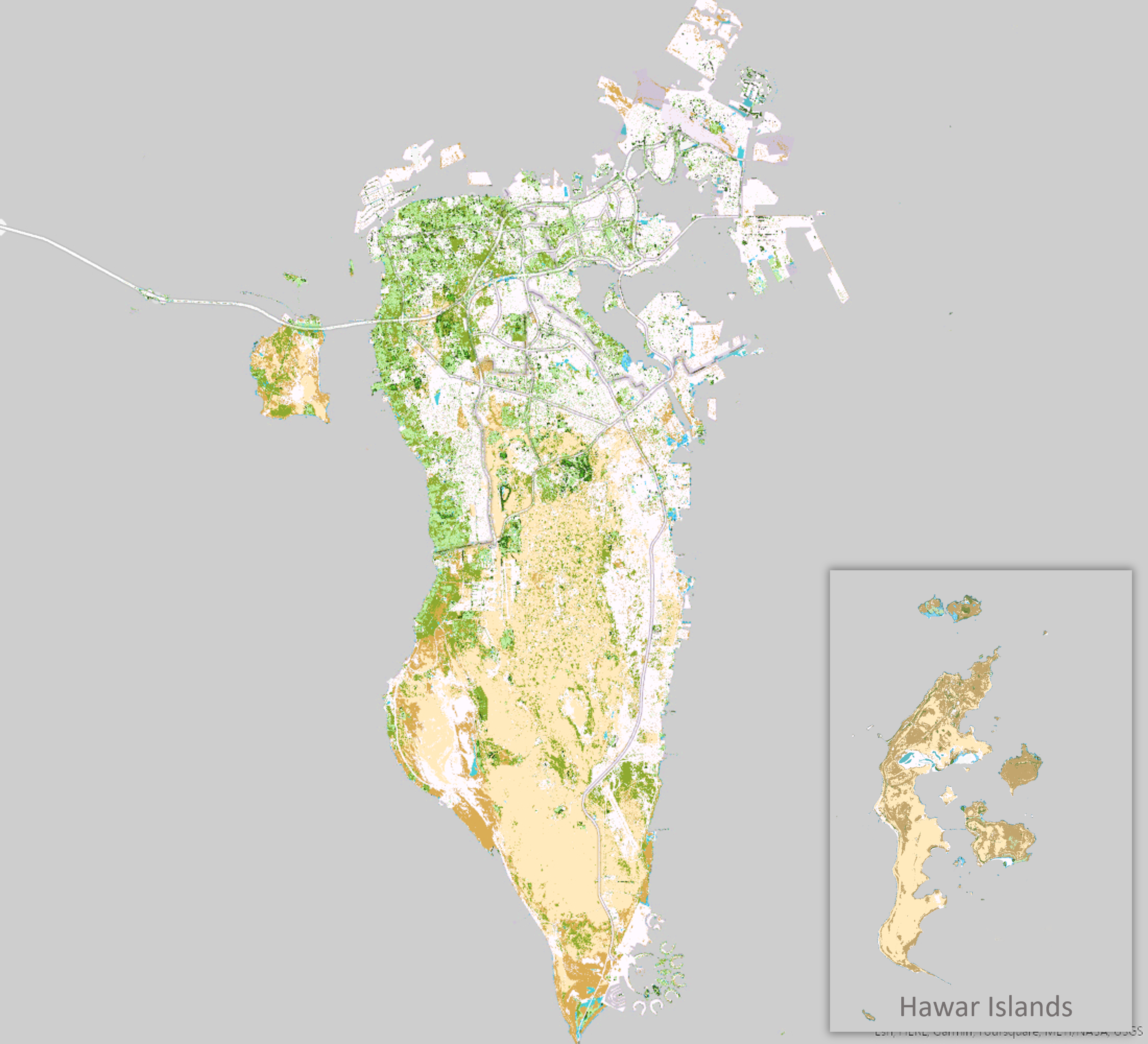
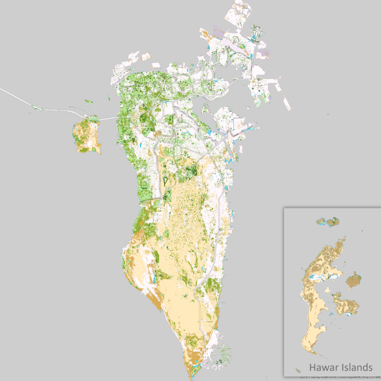
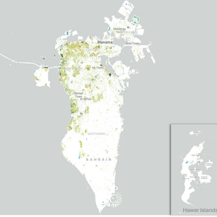
The Geographic Information Systems Directorate at the Information & eGovernment Authority released the Botanical Atlas for the year 2022. The atlas contains maps pertaining to the vegetation cover in the Kingdom of Bahrain , with various classifications themes, such as the types of agricultural crops in the Kingdom of Bahrain, and their areas and locations. The project employs satellite imagery and remote sensing techniques and Artificial Intelligence (AI), which is one of the latest technologies to derive intelligent information. The project utilizes remote sensing data from the Sentinel 2 satellite operated by the European Space Agency , with a spatial resolution of 10 meters to collect, analyze , identify, and classify vegetation data in the Kingdom of Bahrain, as well as using field surveys to produce spatial information.
Methodology
Sentinel 2 imagery was used as the main initial data source to undertake the project . Initial imagery processing and rectification of the raw data were carried out . Unsupervised classification was conducted to obtain an initial classification map of the vegetation . Field survey work was done , where over 145 locations were visited, and sample imagery of the vegetation were collected . AI was used to identify the various plants species ; the results were used in the supervised classification phase of the project. More field survey visits were made to collect additional data and verify the accuracy of the supervised classification and amend when necessary .
Click to access the detailed view of the Botanical Atlas: